Book a Free Demo
Illinois & Midwest Drainage Specialists

Mapping the Future of America's Drainage Infrastructure

Drainage USA provides GIS mapping, drain tile investigations, and drainage district services that help counties, commissioners, and land developers protect critical agricultural land — before it's too late.

Scroll
Drainage District Mapping
Drain Tile Investigations
GIS & Digital Maps
Ditch & Flood Assessments
Assessment Roll Reviews

An Aging Infrastructure — and the Knowledge to Save It

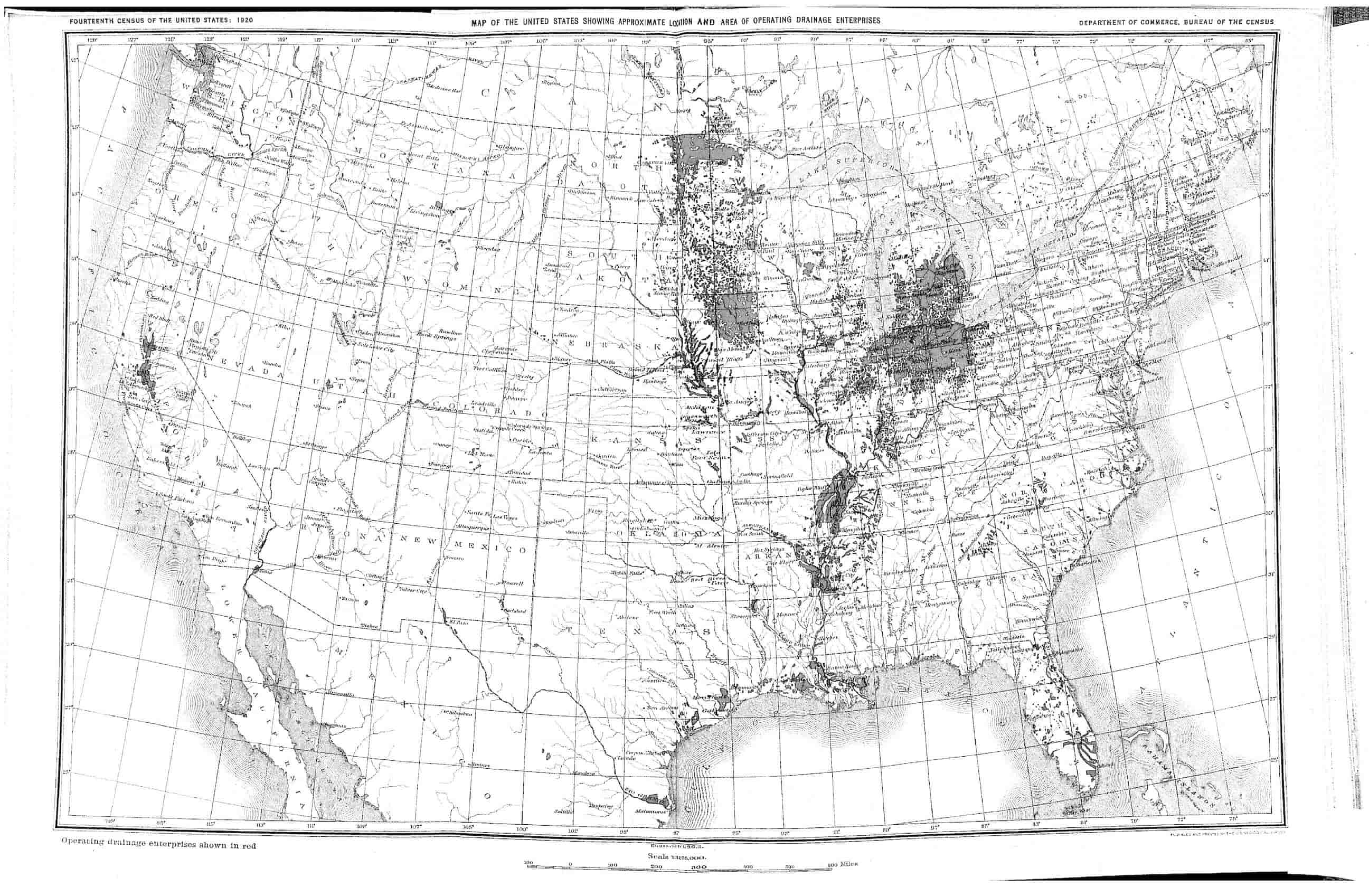
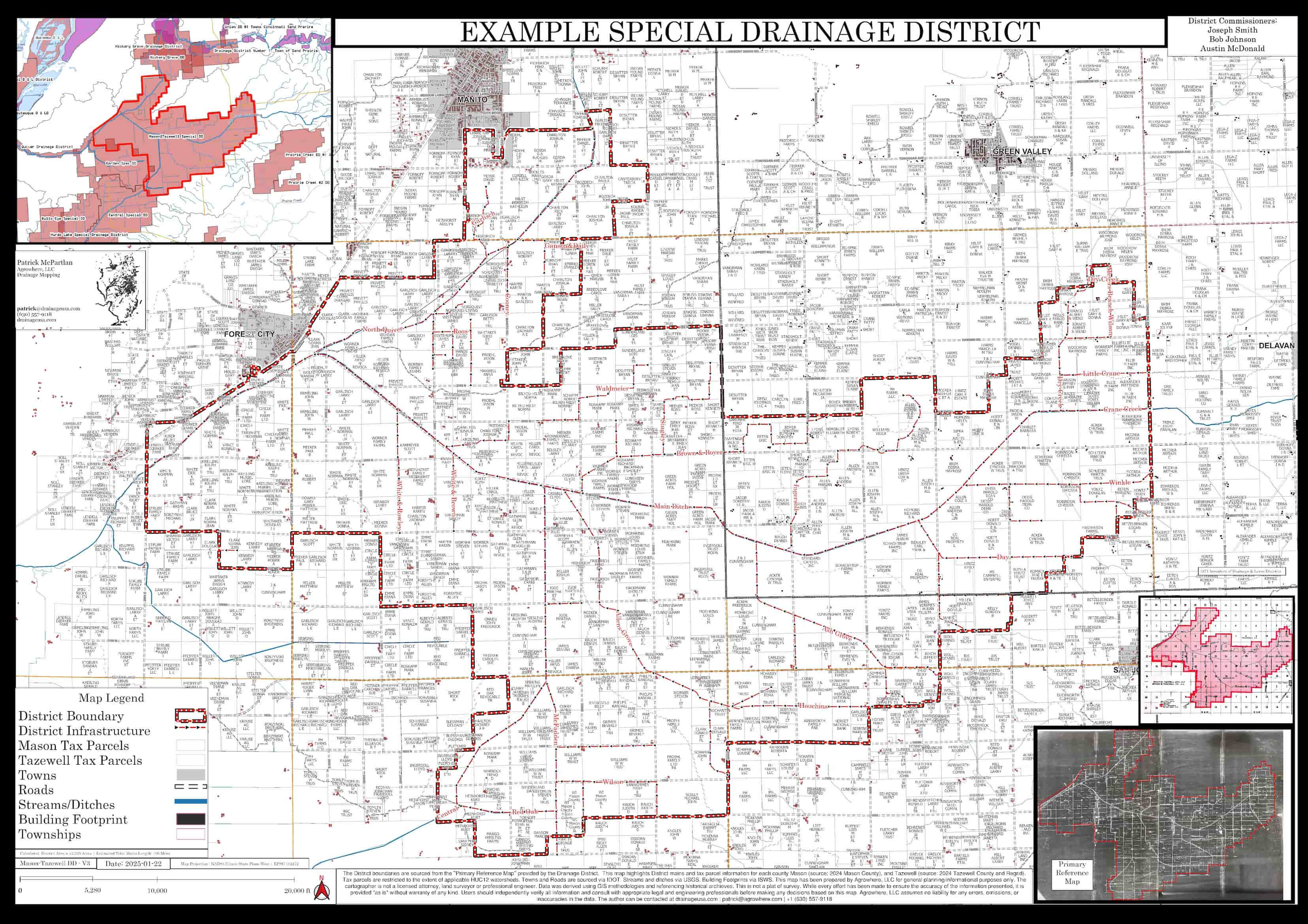
Across the Midwest, decades of drainage infrastructure knowledge lives in the minds of a retiring generation of land managers. Tile lines, ditch routes, and district boundaries exist only on paper maps — fading, scattered, and undigitized.


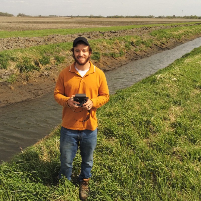
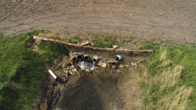
Drainage USA captures that institutional knowledge in GIS before it's lost. We provide updated drainage maps. We combine field expertise with modern mapping technology to build comprehensive drainage inventories that serve counties, drainage districts, and developers for generations.


Complicated Drainage Systems

This is our mission. This is DrainageUSA.

Drainage district GIS map showing tile lines and district boundaries in Illinois
"Preserving the past to prepare for the future — one updated drainage map at a time."

Six Core Services for Drainage Districts & Developers

Get a Quote
01

Drainage District Maps

We produce accurate, court house-ready digital and printed maps of drainage district boundaries, mains, and operational data. Ideal for commissioners managing annual inspections, maintenance schedules, and retaining records.

02

Drain Tile Investigation Reports

Field investigations and detailed written reports on existing tile networks — their condition, location, and characteristics. Essential for land developers, drainage commissioners, and anyone troubleshooting wet field issues or planning new tile systems.

03

Map Archiving & Reformatting

We digitize and preserve aging priceless paper maps, hand-drawn records, and historical drainage documents into clean, searchable GIS formats. Protect irreplaceable institutional knowledge before it deteriorates or disappears.

04

Ditch & Flooding Assessments

On-site evaluations of open ditch systems, flood-prone areas, and re-occuring issues. We document conditions, identify problem points, and provide actionable recommendations for remediation or redesign.

05

Assessment Roll Reviews

Review Drainage District assessment roll to find holes in the taxing distributions and compare the real-time assessment roll with the county with the historical map. We can asssit with splits, combos and delivering data to the county for updates.

06

Digital GIS Maps

Interactive, web-accessible digital maps of your drainage assets — viewable in the field or the office. We build layered GIS datasets that integrate with your existing county or district systems for long-term usability and maintenance planning.

Illinois Has Millions of Acres of Drainage Infrastructure That Nobody Has Mapped

Our work beegan with Illinois, but the need spans the entire agricultural Midwest. Drainage enterprises — the networks of tile, ditches, and districts that keep farmland productive — are critically underdocumented. We're changing that, one district at a time.

1,000+Drainage Districts Statewide
27MFarmland Acres in Illinois
12MIllinois Acres Tile Drained
...

Estimate of all USA Drainage Enterprises, utilizing 1920s Census data (Dept. of Commerce)

From Old Maps to Ready-to-Use Printed and Digital Maps in 5 Steps

01
Organize

Gather and catalog all existing records — paper maps, legal descriptions, county records, and institutional knowledge from current commissioners.

02
Digitize

Transform historical maps and physical records into a clean, standardized digital format ready for GIS processing and long-term preservation.

03
Create

Build accurate, layered GIS maps incorporating field data, drone imagery, and historical records into a single authoritative dataset.

04
Review

Present maps to stakeholders — commissioners, county officials, landowners — for feedback and ground-truth verification before finalization.

05
Deliver

Provide complete, print-ready and digitally accessible maps in your preferred format — ready for court filings, field use, and future maintenance planning.

Trusted by Drainage Districts Across Illinois

We had a district map from 1909 that was starting to fall apart and was hard to read . Patrick McPartlan of Agrowhere updated our map, made it current and useable.

Iroquois Crescent DD #1

We were very appreciative to get a new map of our district. It is very clear and precise. We realized we had a few small areas that should be in the district and are not. It showed clearly on the new map.

Grub School DD

We've needed maps for a long time and were able to mark important things for the future

Union DD #1 PMS Townships

Patrick did a great job designing the map for the district

Middleport DD
Patrick, Founder of Drainage USA / Agrowhere LLC
📷

Save your photo as:
assets/img/patrick.jpg

GIS Mapping Specialist
Drainage District Consultant
Illinois & Midwest Focus

Hi, I'm Patrick

I founded Agrowhere LLC after seeing firsthand how much critical drainage infrastructure knowledge was at risk of being lost — tucked away in aging paper maps and the memories of a retiring generation of land managers.


I work directly with drainage district commissioners, county officials, land developers, drainage contractors and landowners to build drainage maps that preserve that institutional knowledge and make it actionable. I understand the needs of each district are different. That has introoduced me to unique methods of mapping out your district.


If you want to see examples of my work or get testimonials from past clients, just reach out.

Ready to Get Your District's Maps in Order?

Book a free 30-minute demo to see how we've helped drainage districts and land developers across Illinois protect their infrastructure for the future.

Organizing a virtual demo for your group is simple on our end — no hassle, no logistics headaches. Just find a time that works for everyone and we'll take care of the rest. Or else we can coordinate a on-site date.

Book a Free Demo Contact Us