Products/Services
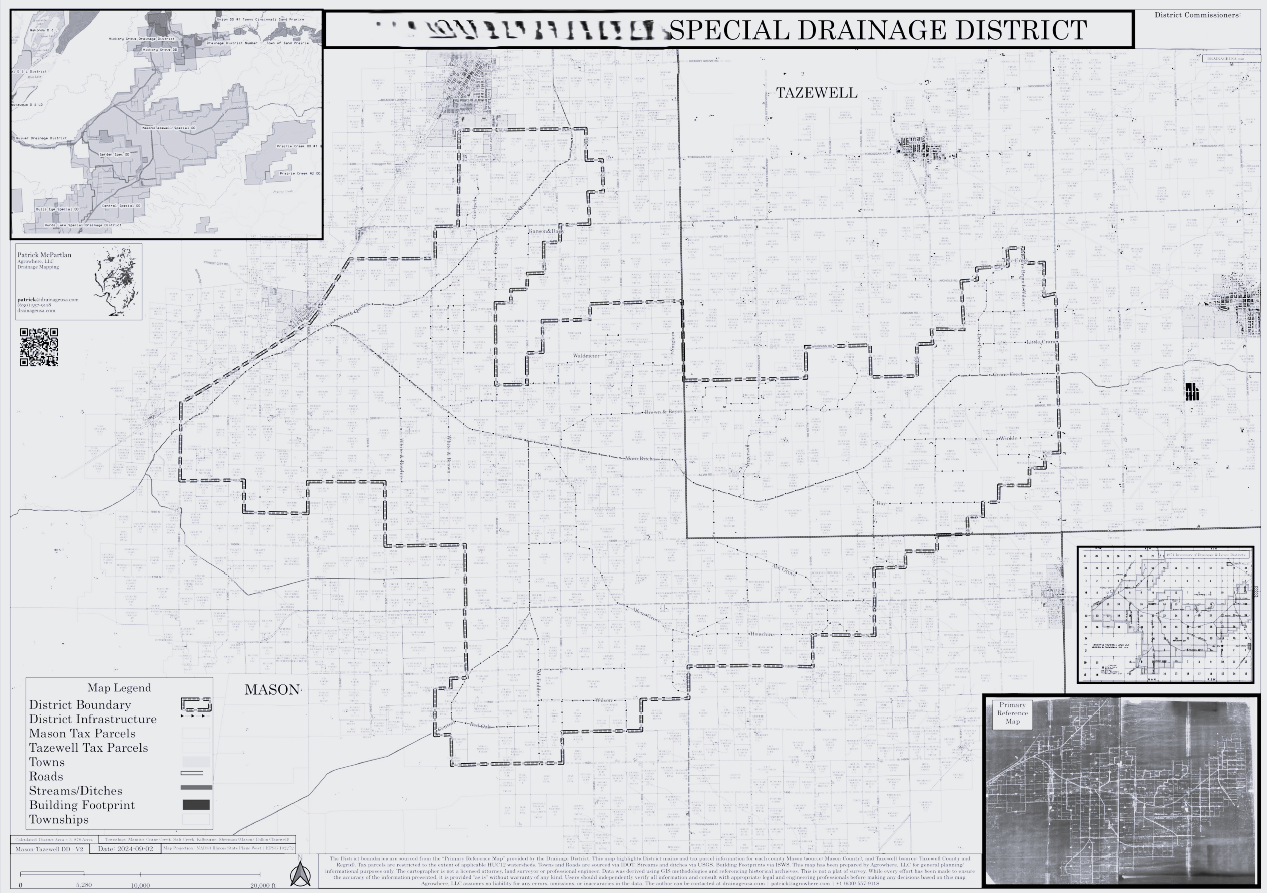
Drainage District Maps

Drain Tile Investigations Reports
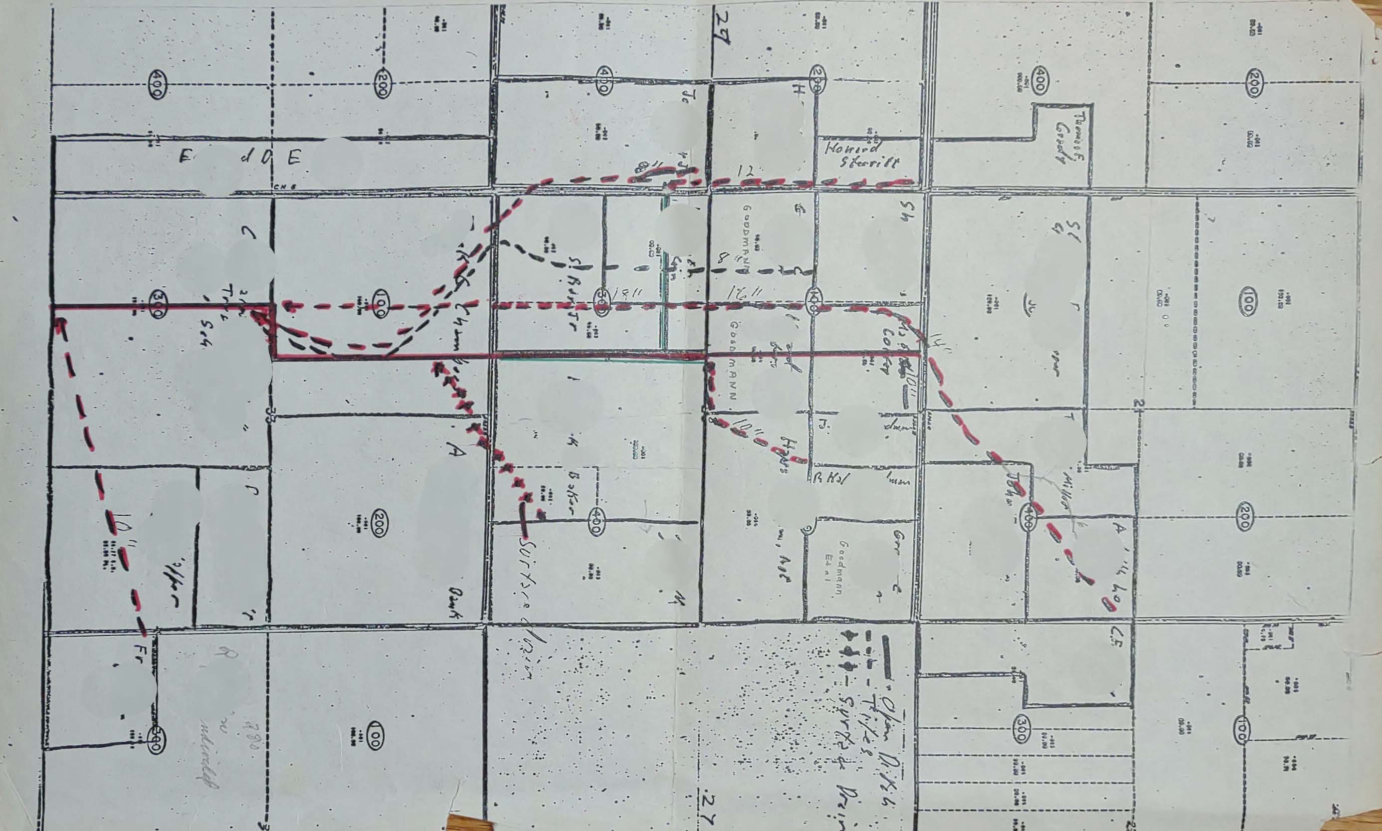
Map Archiving and Reformatting
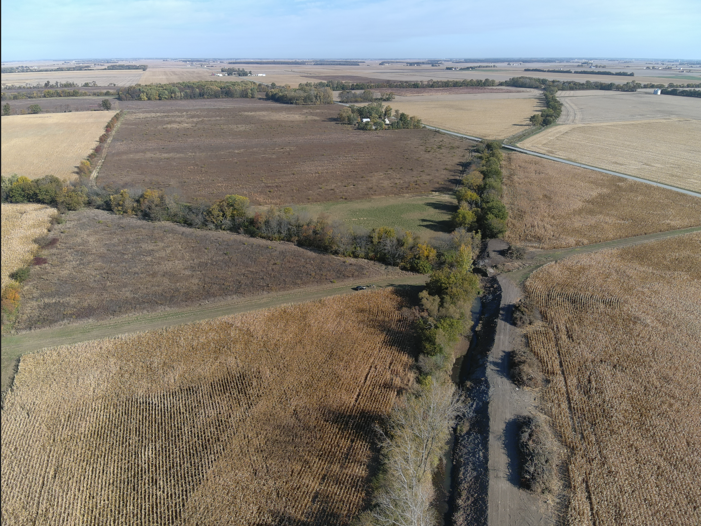
Ditch/Flooding Assessments
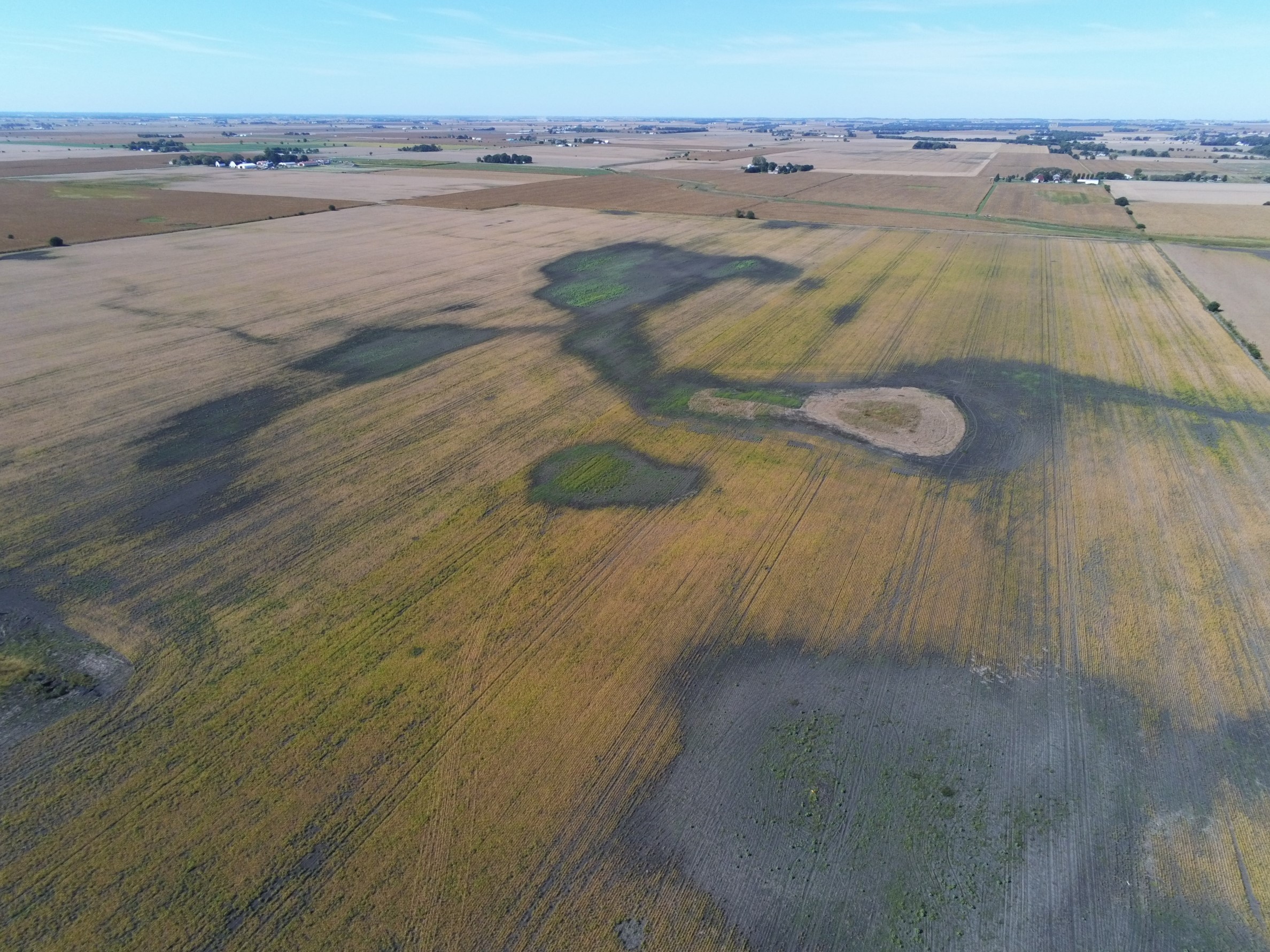
Drone Flyovers
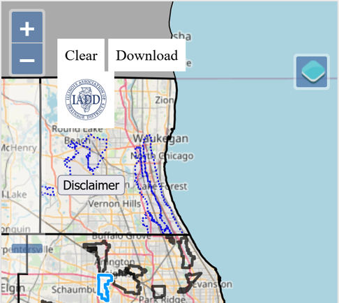
Digital Maps
Agrowhere LLC
Reach out for a list of testimonials from our satisfied clients and examples of our work
About Us
Agrowhere LLC specializes in professional land cartography, offering services for drainage management and land optimization. Our work empowers land managers to prepare for the future while preserving the past.
Problem: From the early days, we have understood the values of documented drainage infrastructure. We see an aging demographic of critical land managers that we would like to capture their insight in GIS and combine with our innovative mapping data models.
Mission: Create an inventory of drainage infrastructure and Drainage Enterprise data and make significant improvements to our Nation's critical farmland. This is DrainageUSA.

Are you a client and come to the website for a digital version of your map?
Click the contact us button to get a hold of us to provide your login credentials.